
 Continue with onX Maps
 Continue with Facebook


 Particularly Special Place


 Intermediate
Intermediate
Intermediate
 Intermediate
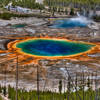
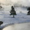
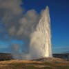
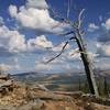
Land Manager: National Park Service - Yellowstone National Park
 Fairy Falls-Imperial Geyser
7.2 mi 11.5 km • 290' Up 88.43 m Up • 290' Down 88.42 m Down

 Old Fai…, WY
 Mystic Falls Loop
3.5 mi 5.6 km • 597' Up 182.07 m Up • 596' Down 181.64 m Down
Yellows…, WY
Observation Point-Geyser Hill
2.3 mi 3.6 km • 258' Up 78.53 m Up • 257' Down 78.44 m Down
Shoshone Lake & Geyser Basin
21.2 mi 34.1 km • 1,204' Up 367.11 m Up • 1,537' Down 468.54 m Down
Old Fai…, WY
 Bunsen Peak
4.3 mi 7.0 km • 1,285' Up 391.59 m Up • 1,284' Down 391.45 m Down
Mammoth…, WY
Lava Creek Trail
4.7 mi 7.6 km • 218' Up 66.47 m Up • 844' Down 257.23 m Down


 Minor Issues


0 Comments