
 Continue with onX Maps
 Sign in with Facebook


 Particularly Special Place


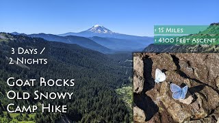
 Intermediate/Difficult
Intermediate/Difficult
Intermediate/Difficult
 Intermediate/Difficult
Land Manager: USFS - Gifford Pinchot
 Pacific Crest Trail: Washington Section I
99.5 mi 160.2 km • 15,481' Up 4718.47 m Up • 16,895' Down 5149.49 m Down

 Tieton, WA
 Shriner Peak
7.9 mi 12.8 km • 3,258' Up 993 m Up • 3,258' Down 992.94 m Down
Eatonville, WA
 High Lakes Loop
2.8 mi 4.6 km • 527' Up 160.53 m Up • 527' Down 160.65 m Down
 Nisqually Vista
1.2 mi 1.9 km • 175' Up 53.36 m Up • 175' Down 53.22 m Down
Eatonville, WA
Comet Falls and Van Trump Park
5.1 mi 8.3 km • 2,180' Up 664.36 m Up • 2,179' Down 664.26 m Down
Eatonville, WA
Indian Henry's Hunting Ground via Kautz Creek
11.1 mi 17.9 km • 3,472' Up 1058.3 m Up • 3,471' Down 1058.01 m Down
Eatonville, WA


0 Comments