
 Continue with onX Maps
 Sign in with Facebook


 Particularly Special Place


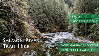
 Intermediate
Intermediate
Intermediate
 Intermediate
Land Manager: USFS - Mt. Hood National Forest - Zigzag Ranger Distict
 Mirror Lake Loop Trail #664
4.2 mi 6.8 km • 624' Up 190.06 m Up • 624' Down 190.15 m Down

 Governm…, OR
Burnt Lake Loop
Governm…, OR
Burnt Lake Loop
7.5 mi 12.0 km • 1,472' Up 448.56 m Up • 1,474' Down 449.41 m Down
Governm…, OR
 Mountaineer Loop Trail #798
2.9 mi 4.7 km • 1,068' Up 325.38 m Up • 1,063' Down 324.12 m Down
Governm…, OR
 PCT: Timberline Lodge to Hwy 35 Out and Back
10.5 mi 16.9 km • 1,850' Up 564 m Up • 1,850' Down 564.03 m Down
Top Spur/Bald Mountain Loop
2.4 mi 3.8 km • 517' Up 157.67 m Up • 516' Down 157.3 m Down
Governm…, OR
Mt Hood 50K
29.5 mi 47.5 km • 3,069' Up 935.44 m Up • 3,067' Down 934.94 m Down
Governm…, OR


0 Comments