
 Continue with onX Maps
 Sign in with Facebook


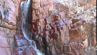
 Particularly Special Place


 Intermediate/Difficult

 Intermediate/Difficult
Land Manager: USFS - Tonto National Forest Office
 Pine Trail Run
9.1 mi 14.7 km • 1,150' Up 350.44 m Up • 1,506' Down 458.99 m Down
Pine, AZ
Palo Verde Trail
8.4 mi 13.5 km • 251' Up 76.62 m Up • 252' Down 76.72 m Down

 Fossil Springs Trail
8.7 mi 14.0 km • 1,426' Up 434.7 m Up • 1,426' Down 434.76 m Down
Pine, AZ
 Skunk Tank - Cave Creek Loop
10.5 mi 16.8 km • 1,661' Up 506.17 m Up • 1,661' Down 506.16 m Down
Carefree, AZ
Cabin Loop Trail
18.2 mi 29.2 km • 2,395' Up 729.94 m Up • 2,401' Down 731.69 m Down
Star Va…, AZ
 Brown's Ranch
10.5 mi 16.9 km • 500' Up 152.51 m Up • 496' Down 151.19 m Down


0 Comments