
 Continue with onX Maps
 Sign in with Facebook


 Particularly Special Place


 Intermediate/Difficult

 Intermediate/Difficult
Land Manager: USFS - Inyo National Forest Office
 Hilton Lakes
11.5 mi 18.5 km • 2,372' Up 722.91 m Up • 2,371' Down 722.64 m Down
 Convict Lake Trail
2.6 mi 4.1 km • 170' Up 51.72 m Up • 175' Down 53.4 m Down
 Mammoth…, CA
 Devils Postpile to Rainbow Falls
3.5 mi 5.7 km • 408' Up 124.4 m Up • 408' Down 124.37 m Down
Mammoth…, CA
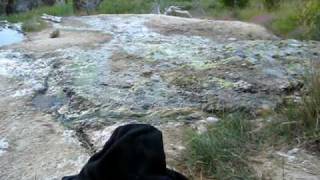
Crowley Lake Columns Hike
3.7 mi 6.0 km • 345' Up 105.23 m Up • 346' Down 105.35 m Down
Mammoth…, CA
 1000 Island Lake Loop
18.7 mi 30.1 km • 3,205' Up 976.92 m Up • 3,213' Down 979.24 m Down
Mammoth…, CA
Shadow and Ediza Lakes
14.2 mi 22.9 km • 1,667' Up 508.09 m Up • 1,669' Down 508.58 m Down
Mammoth…, CA


0 Comments