
 Continue with onX Maps
 Sign in with Facebook


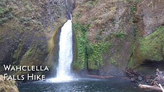
 Particularly Special Place


 Intermediate
Intermediate
Intermediate
 Intermediate
 Upper McCord Creek Falls
1.8 mi 2.9 km • 412' Up 125.63 m Up • 412' Down 125.52 m Down

 Cascade…, OR
 Table Mountain from Bonneville Hot Springs
8.4 mi 13.5 km • 3,432' Up 1045.96 m Up • 3,423' Down 1043.47 m Down
Stevenson, WA
 Greenleaf Overlook
7.9 mi 12.8 km • 1,156' Up 352.34 m Up • 1,156' Down 352.37 m Down
Dry Creek Falls
4.4 mi 7.1 km • 734' Up 223.66 m Up • 734' Down 223.58 m Down
 Angel's Rest Lookout
4.1 mi 6.6 km • 1,441' Up 439.21 m Up • 1,439' Down 438.72 m Down
Bridal…, OR
Latourell Falls
2.3 mi 3.7 km • 654' Up 199.46 m Up • 686' Down 209.02 m Down
Bridal…, OR


0 Comments