Rate Photo
Joanie Bassler
Nov 2, 2016
near Cleator Moor,
GB
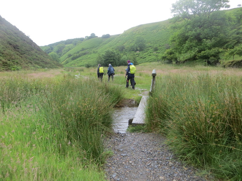
“Valley just south of Low Cock How (labeled D. Bradley on map) and south-east of Ennerdale Bridge”

 Continue with onX Maps
 Continue with Facebook


 Particularly Special Place


 Coast to Coast: St. Bees to…


0 Comments