Continue with onX Maps
 Sign in with Facebook


 Particularly Special Place


Yacolt Burn State Forest
 WA
WA- Southwest Washington
- Yacolt Burn State Forest


Recommended Routes in Yacolt Burn State Forest - 3
Trail Run Project is built by runners like you. Add Your Recommended Routes


 Intermediate/Difficult
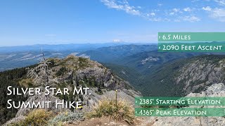
Grouse Vista - Sturgeon Rock - Silver Star Loop
8.7 mi 14.0 km • 2,273' Up 692.85 m Up • 2,266' Down 690.6 m Down

 Venersborg, WA


Yacolt Burn State Forest Running
- 49 Miles 78 Kilometers of Trail
- 3 Recommended Routes
- 1
Easy Trail

- 8
Intermediate Trails

- 3
Difficult Trails

Trail Run Project is built by runners like you. Share
what you know about this area!
Areas Within Yacolt Burn State Forest
Weather Averages
|
High
|
Low
|
Precip
|
Days w/
|
| J | F | M | A | M | J | J | A | S | O | N | D |
Trails in Yacolt Burn State Forest - 9
Trail Run Project is built by runners like you. Add Your Trails
2.9
mi
4.7
km
#1East Fork of the Lewis River Trail
 Easy
Easy
Yacolt, WA
|
Easy
|
Yacolt, WA |
12
|
|
8.1
mi
13.1
km
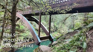
#2Bells Mountain Trail
 Difficult
Yacolt, WA
|
Difficult
|
Yacolt, WA |
8
|
|
|
22.3
mi
36.0
km
#3Tarbell Trail
Intermediate/Difficult
Venersborg, WA
|
Intermediate/Difficult
|
Venersborg, WA |
3
|
|
2.3
mi
3.7
km
#4Grouse Vista Trail #180F
 Intermediate
Venersborg, WA
|
Intermediate
|
Venersborg, WA |
3
|
|
|
8.6
mi
13.8
km
#5Three Corner Rock Trail
Difficult
Stevenson, WA
|
Difficult
|
Stevenson, WA |
1
|
|
|
0.0
mi
0.1
km
#6Heaven and Hell Falls
Intermediate
Stevenson, WA
|
Intermediate
|
Stevenson, WA |
1
|
|
|
2.8
mi
4.5
km
#7Lewis River Mountain Bike Trail
Intermediate/Difficult
Yacolt, WA
|
Intermediate/Difficult
|
Yacolt, WA |
2
|
|
|
1.3
mi
2.1
km
#8Sturgeon Trail #180C
Intermediate/Difficult
Venersborg, WA
|
Intermediate/Difficult
|
Venersborg, WA |
1
|
|
0.4
mi
0.6
km
#9Three Corner Rock Connector
 Easy/Intermediate
Stevenson, WA
|
Easy/Intermediate
|
Stevenson, WA |
1
|
Photos of Yacolt Burn State Forest - 18
Trail Run Project is built by runners like you. Add Your Photos