
 Continue with onX Maps
 Continue with Facebook


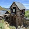
 Particularly Special Place


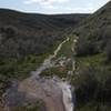
 Difficult

 4.5 (10)


 All Clear


0 Comments