
 Continue with onX Maps
 Continue with Facebook


 Particularly Special Place


 Intermediate

 Intermediate
Land Manager: Santa Clara County Parks
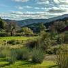
 Rancho San Vicente Loop
8.4 mi 13.6 km • 672' Up 204.86 m Up • 672' Down 204.74 m Down
Quicksilver History Loop
8.0 mi 12.9 km • 1,454' Up 443.32 m Up • 1,456' Down 443.8 m Down
 Almaden…, CA
 Bald Mountain Out and Back
1.6 mi 2.5 km • 110' Up 33.57 m Up • 110' Down 33.54 m Down
Almaden…, CA
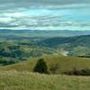
Grant View Loop
5.5 mi 8.9 km • 1,147' Up 349.73 m Up • 1,147' Down 349.64 m Down
Alum Rock, CA
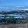
 Harvey Bear Ranch Hike
11.1 mi 17.8 km • 1,518' Up 462.57 m Up • 1,517' Down 462.45 m Down
San Martin, CA
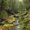
Skyline to the Sea Trail
25.4 mi 40.9 km • 1,910' Up 582.14 m Up • 4,515' Down 1376.15 m Down
Saratoga, CA


0 Comments