
 Continue with onX Maps


 Particularly Special Place


Rate Photo


Chris McD
Sep 10, 2016
near Tucson Estates,
AZ
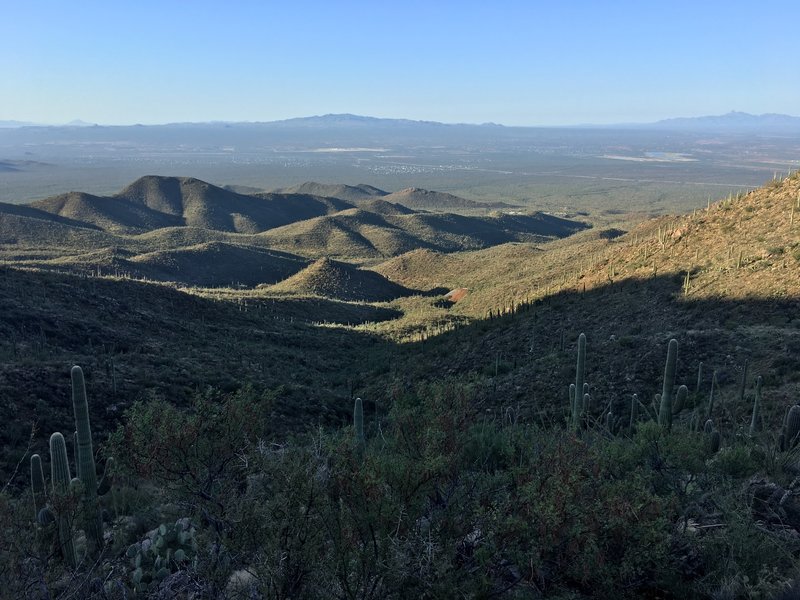
“Getting higher and closer to Wasson Peak. In the center of the photo, you can see the orangish tailings from the Gould Mine.”


 Wasson Peak Circle Route
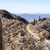
 Hugh Norris Trail


0 Comments